Geography
Novi Sad is the administrative, economic, cultural, scientific and touristic centre of the Autonomous Province of Vojvodina and the second largest city in Serbia.
Geographical coordinates: 45˚ 46` north latitude и 19˚ 20` east longitude
City area: 702.7 km2
Population: 368.967 (2022 Census)
Elevation: 72 to 80 m
Climate: humid continental
Geographically, Novi Sad is in a favourable position. It lies on important transit routes, which provides significant comparative assets.
Novi Sad is connected to the region with road and railway routes as well as waterways. It is in the centre of a highway network connecting Northeastern and Eastern Europe to the Middle and Far East, as well as Central and Northern Europe to the ports of the Adriatic Sea.
The city lies on the European Corridor 10 which connects eight countries on its main route from Salzburg to Thessaloniki, and another six countries with its side routes. The European Corridor 7, or the Danube River waterway, connects Western European countries to the Black Sea. Novi Sad is also connected with the Danube – Tisa – Danube canal system, which enables navigation from the Central Europe to the Black Sea. Novi Sad is located on 1,225th kilometre of the Danube flow. The river is wide here and it forms numerous islands, inlets and sandbanks.
Contact information
Phone:
+381 21 420-066
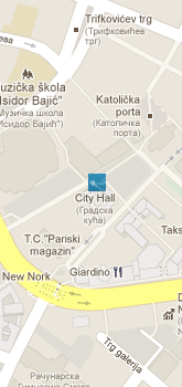
Address:
Trg slobode 1
21101 Novi Sad
Republic of Serbia